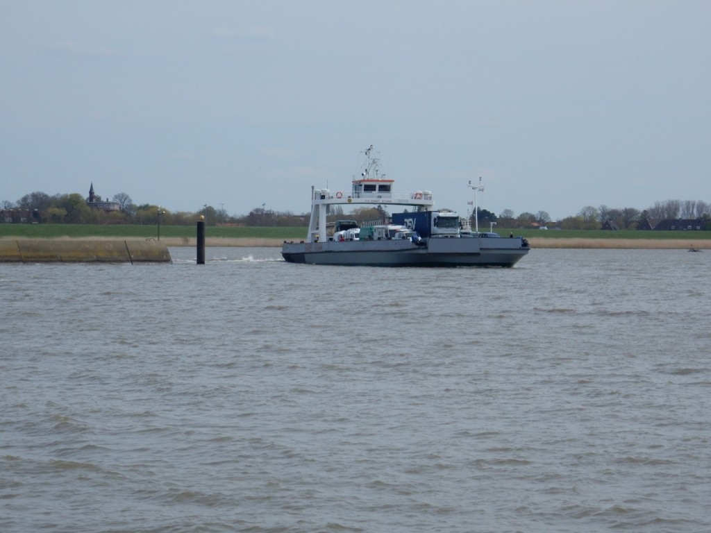
Elbefähre (Glückstadt)
Zo, weer een stukje verder. Van Bad Bederkesa via Wischhaven – Elbe Fähre – en door naar Bad Bramstedt. In totaal 102,39 km. Het weer? Heel goed toen we vanmorgen vertrokken. Wind, niet hard of koud, hoofdzakelijk achter en soms zij. Mooie route door soms wat glooiend maar overwegend vlak land. Dat was ook wel te danken aan de navigatie die de allerkortste route door meer heuvelachtig terrein niet koos maar in plaats daarvan wat vlakkere wegen. Over navigatie gesproken, ik begin het ding langzamerhand wat te begrijpen, maar hij/zij(?) mij nog niet.
Voor- en nadelen. Groot voordeel, vooral als je door een stad rijdt, je volgt als een kip zonder kop de aanwijzingen en komt zonder te verdwalen of veel zoekwerk vanzelf op de plaats van bestemming. Nadeel 1: zonder kaart rijden voelt wat onzeker – ga ik de goede kant wel op, he, wat doet ‘ie nou, dat had ik niet verwacht, het bordje daar zegt dat ik RECHTS af moet! En het grootste nadeel, je krijgt niet meer te horen van de vriendelijke inboorling dat je rechts af moet, en dat zijn grootmoeder daar vroeger woonde op de hoek, dat hij of zij ook altijd op de fiets naar school ging, dat de burgemeester een buitenechtelijke verhouding heeft en dat dit fietspad zo’n slecht wegdek heeft dat je beter de autoweg kunt nemen.
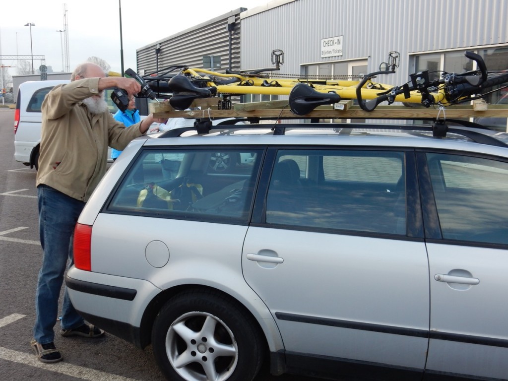
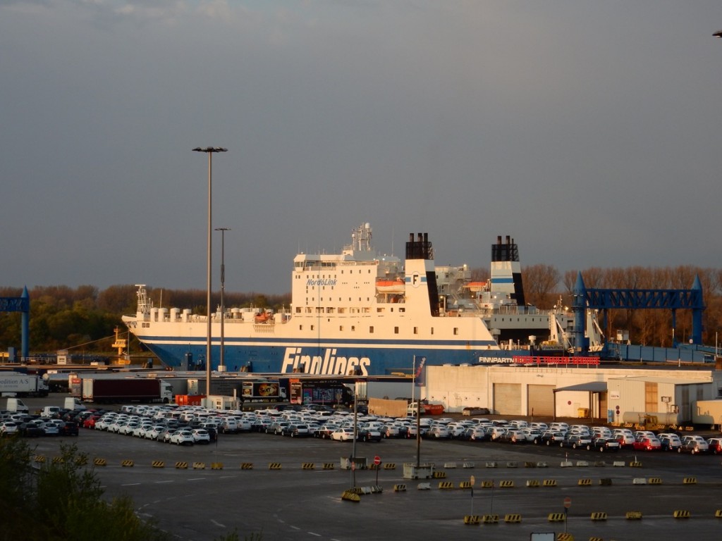
Net vanavond tickets geboekt voor de nachtboot van Travemünde naar Malmø – overmorgen in Zweden, dus, voor een uurtje of zo, want dan staat daar Poul Illemann met zijn auto om ons met tandem en al mee te nemen de brug over naar Kopenhagen. We waren van plan de trein te nemen over de brug Malmø – Kopenhagen omdat je daar helaas (nog) niet mag fietsen.
O ja, en het Guinness Book of Records voor de smerigste gebak ter wereld staat nu op naam van een oud mevrouwtje in een grote ludiek omgebouwde boerenschuur met winkel en café ergens onderweg.
Faithful Garmin took us from Bad Bederkesa to Bad Bramstedt. I begin to sort of understand how its brain works, but it doesn’t comprehend mine yet. The advantages of navigation on the bike on trips like this are obvious – you don’t get lost in cities where the city council has sold all the signposts to a museum of modern art – your navigation finds you interesting routes that you would not have found with the help of your maps, unless you had invested in a stack of maps half a metre high for a trip like this.
The disadvantage is it makes the trip less interesting. You miss out on the stories of the natives who take five minutes to point out four possible routes to the place you want to go to, expecting you to not mix them up trying to follow their directions, and then go on to tell you that the grandmother they hated most lived just around the corner, that they always took their bicycles to school, even if it rained and that the local hospital has had to shut down fourty eight years ago.
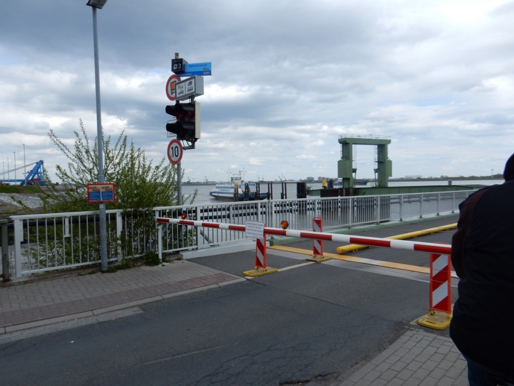
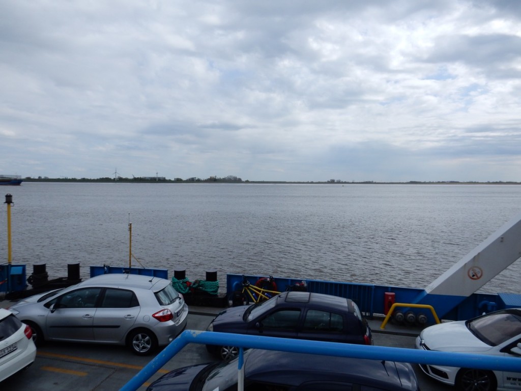
Anyway, our route took us from Bad Bederkesa to the Elbe ferry at Wischhaven along a slightly longer route than the shortest route through somewhat hillier country. It is a great joy to pass a long queue of waiting cars to be the first one to be allowed on to the ferry.
Having arrived at the other side, we decided on a cup of coffee and a shrimp sandwich at a roadside stall, but sudden gusts of wind blew both sandwich and coffee off the table – the sandwich could be salvaged and the coffee was replaced by the friendly lade at the counter.
We continued our route to Bad Bramstedt where the internet is working again, good for this blog, and we booked a ferry from Travemünde, where we will arrive some time tomorrow afternoon, to Malmø, Sweden. There we will be met at the ferry terminal by our friend Poul who will take us in the car and the tandem on the roof rack to Copenhagen. Bicycles are not allowed on the bridge, nor in Danish trains (unless one of the riders is blind or otherwise handicapped). And oh yes, 102 kms today.

